MERIT vs. Other Methods
Download A Sample Report
See Our Review in Florida Driller Magazine
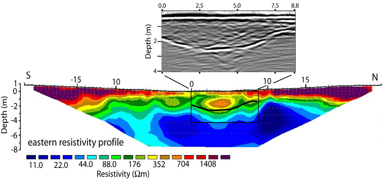
Comparison of an image of a sinkhole at the USF Geo-Park using ground penetrating radar, electrical resistivity and MERIT.
Results: Surface methods only imaged the near surface clay layer, while the MERIT imaged the entire subsurface including topography of the limestone.
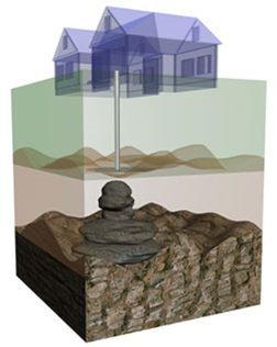
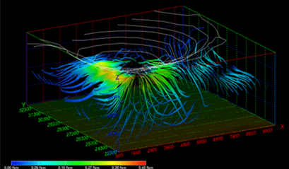
MERIT Image
- Penetration to 60 feet
- Limestone Surface Geometry Imaged
- Anomalies Fully Imaged
GPR Image
- Penetration to 12 feet
- Upper Clay Surface Imaged
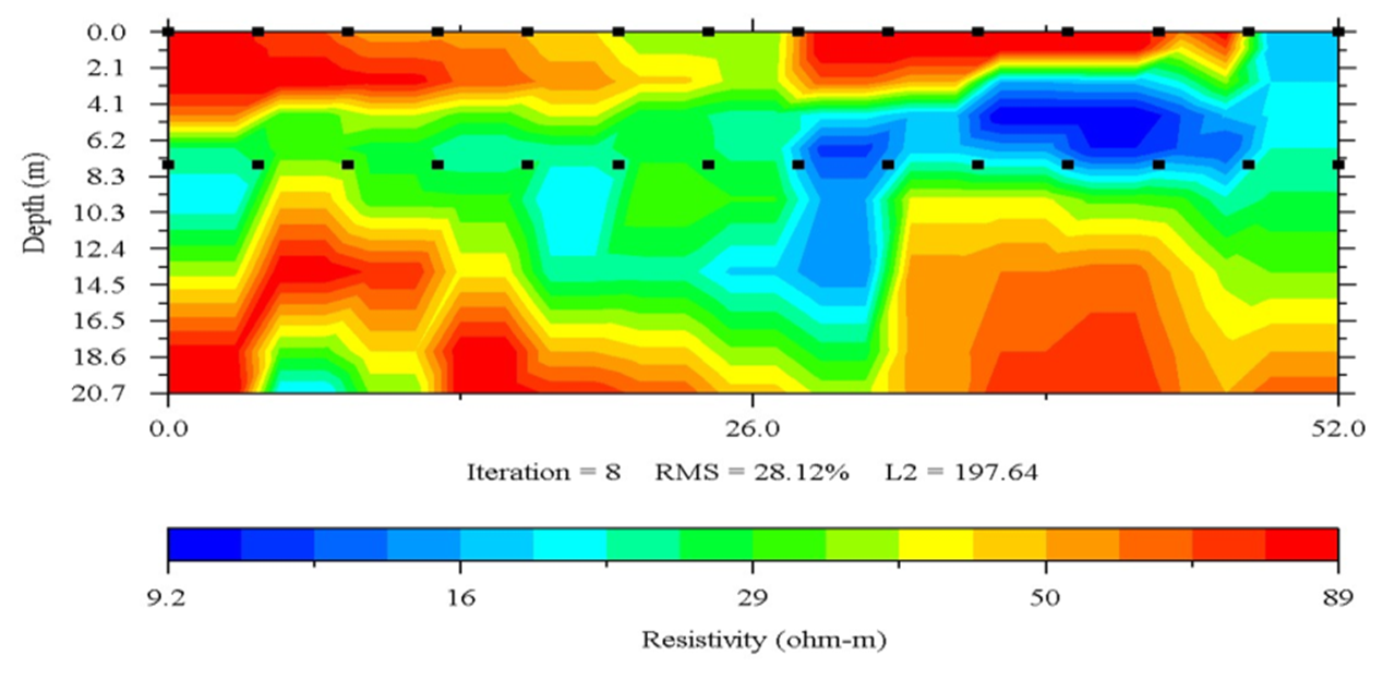
ER Image
- Penetration to 24 feet
- Anomaly at 12 feet
- Sinkhole Not Imaged
Additional Applications For MERIT Imaging
Subsurface Grouting
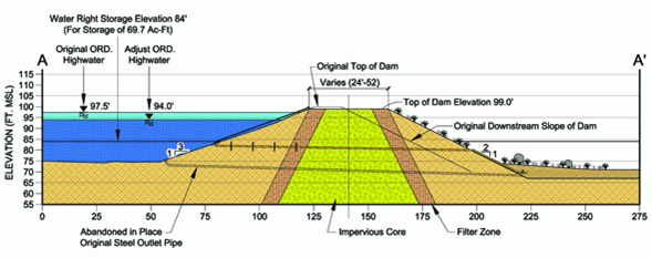
Earthen Dams
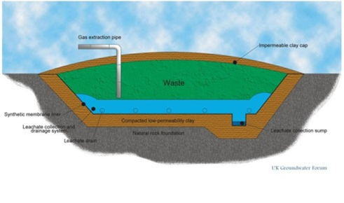
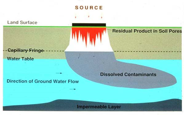
Groundwater Contamination, Impermeable Layers, and Remediation
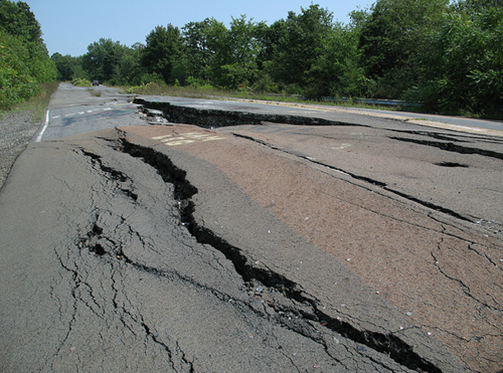
Infrastructure Ground Subsidence Investigations
Groundwater Modeling
Landfill Monitoring